خلاصہ
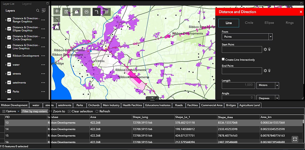
I am a GIS analyst, working as a GIS technician at DHA Lahore. I have experience working with both ArcGIS and QGIS software. I have also worked with LiDAR data and performed spatial analysis using various algorithms. I am proficient in creating cartographic products such as maps and 3D visualizations. In addition, I am also skilled in data management and database design.
I have a strong passion for working with geographical data and providing insights that can help solve real-world problems. I am always keen to learn new things and explore new areas of GIS. I am also an active member of the GIS community, contributing to various online forums and blogs.
پراجیکٹس
تجربہ
GIS Developer
Design a Land Information System
Developer Land Revenue Data
Cadastral Mapping
Web Mapping
Temporal Data Analysis
GIS Digitizer
Digitization of all the physical features
• Analysis and mapping of current situation through classification of satellite images with ground true thing.
• Development of base map
• Collection of Data for the preparation of Study Reports
GIS Associate
Updating GeoDataBase


